Seminars

Topographic Unconsciousness

[This is a guest post by Akiyoshi Suzuki (Nagasaki University), with a summary of his Hestia@Birmingham presentation on the subject: ‘A Good Map is Worth a Thousand Words: 3-D Topographic Narrative of Haruki Murakami’]

The mapping of novels has been popular in Japan, either for simply providing a guide to fans wishing to follow the footsteps of the characters or else for bringing to the surface the unconscious, the blind spots or else the novel’s biopolitics. For readers of Murakami’s fiction, however, mapping is uncertain; the characters’ trails are strange and mysterious. And a constant refrain is heard, as when Naoko in Norwegian Wood asks, “Where are we?”.

Read More»

Digital Pedagogy

How are new technologies transforming the interface between research and learning?

Hestia2 seminar @Senate House, room 246 (6th floor), 6 June 2014

Funded by the AHRC, Hestia2 has been exploring some of the consequences of applying digital technologies to humanities text-based research, including investigating the use of network theory (Southampton), complex data visualisations (Stanford), and Literary GIS (Birmingham). In this final seminar, we consider the extent to which digital technologies are transforming knowledge of research beyond academia, what the particular challenges and opportunities are for digital-based teaching, and what consequences there may be for research practice.

The seminar is FREE to all, refreshments will be provided, but places are limited. If you would like to participate, please sign up here:

http://www.eventbrite.com/e/digital-pedagogy-transforming-the-interface-between-research-and-learning-tickets-11758940307

Read More»

Beyond images and surfaces: Impressions from the ‘Telling stories with maps’ symposium in Birmingham

As we have already written on this blog, the fourth event within the Hestia 2 programme recently took place in Birmingham. With its focus on qualitative GIS and narrative mapping, this symposium was closest to my own academic interests and motivations for participating in the project. Its selection of papers, audience and topics achieved one of the long-standing aims of the Hestia team: to bring together the social sciences, humanities and the ‘IT crowd’ in a genuine interdisciplinary dialogue. Testifying to the success of the event were the high attendance rate, the diverse professional backgrounds of participants, and the numerous follow up discussions instigated on different fora (particularly twitter and the ‘blogosphere’).

Read More»

Hestia2@Birmingham 30 April 2014

This week sees the third workshop taking place as part of Hestia 2. The event is being hosted by the University of Birmingham’s Digital Humanities Hub, which seems appropriate as it is a facility dedicated to bringing together scholars and practitioners from across disciplines interested in different ways of visualising the world.

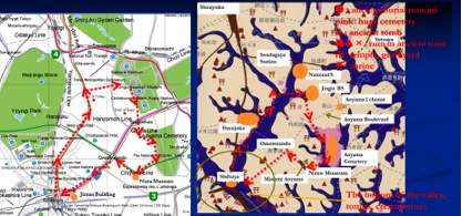
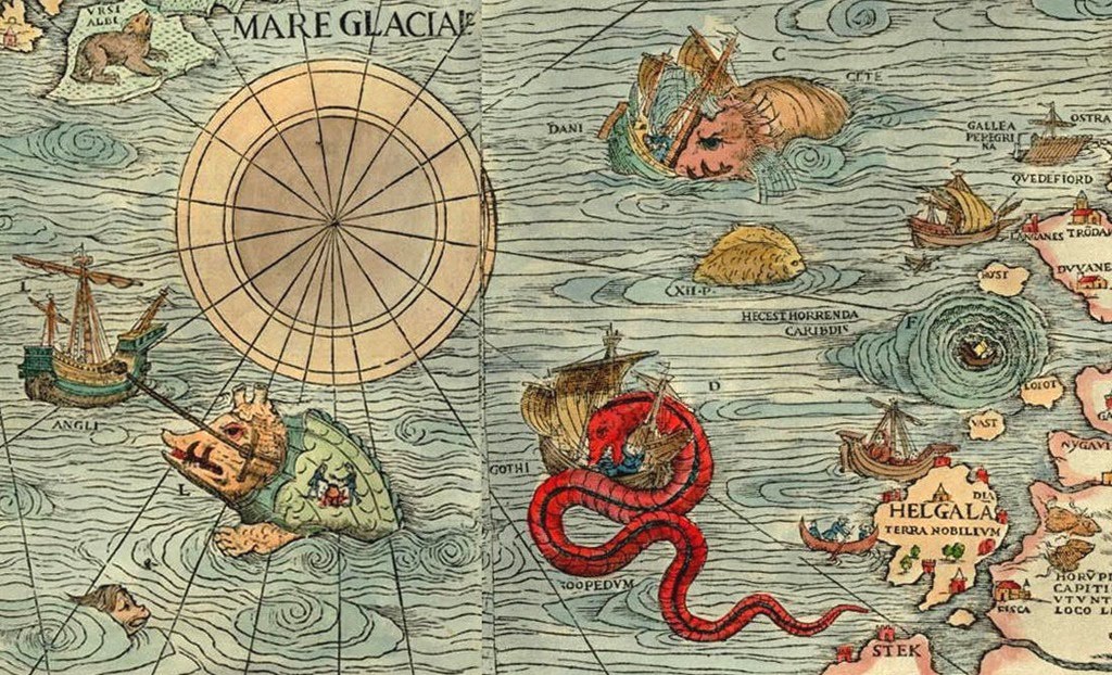
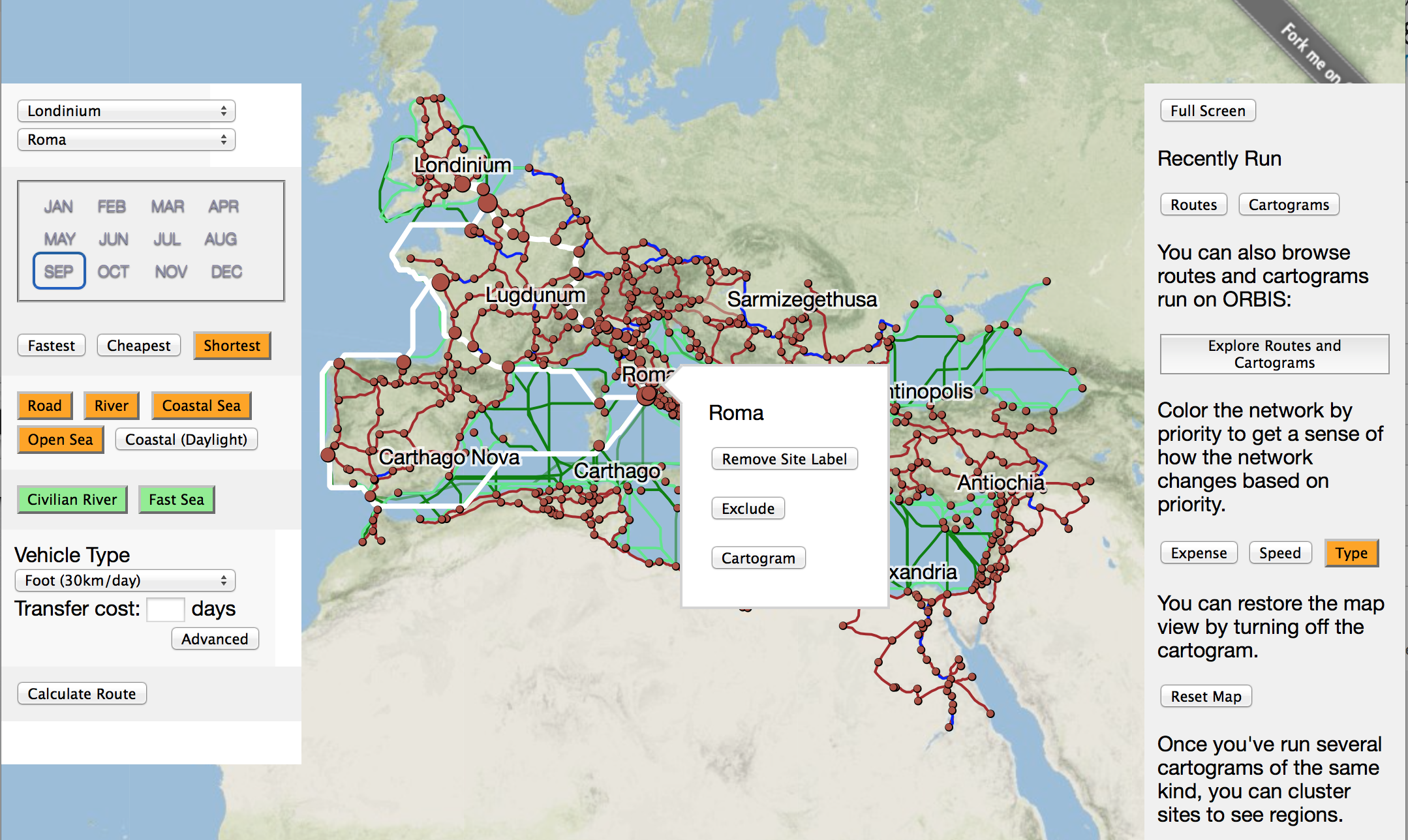
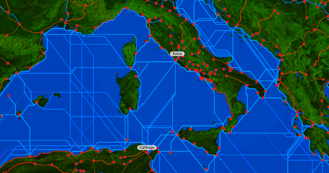
The theme of the workshop is qualitative GIS – techniques for exploring non-numerical data through mapping. This is a relatively new field, although not without important precedents. Historically, cartographers would add a range of images to their maps. These could range from drawings of mythical beasts animating far off lands to town plans complete with sketches of key buildings. These drawings went beyond cold, scientific representation to tell us something about the way places were imagined and lived. As Geographical Information Systems (GIS) were developed in the 1960s and 1970s they became a tool for representing numerical data, reflecting the fashion at the time for using computers to ask new, highly quantitative, research questions. In GIS, places are all-too-easily reduced to points, lines and polygons, all of which can have values attached to them. Conventionally these values were either numeric or comprised basic text strings, but as computers became more powerful in the 1980s, longer texts, photographs, audio and video could be added.

Read More»

Telling stories with maps: the geoweb, qualitative GIS and narrative mapping

Digital Humanities Hub, University of Birmingham, 30 April 2014

Call for papers

As part of the Hestia 2 seminar series exploring the different ways in which humanistic approaches to data visualization are challenging and transforming existing mapping practices, we are pleased to invite contributions to a one-day workshop that will examine the specific role of GIS in mapping texts of different kinds.

Read More»

Why Update ORBIS?

There’s a lot of digital humanities left to be done. There are books that haven’t been digitized that need to be mined to find trends to put on maps using algorithms that haven’t even been designed yet. So, when you consider that the significant effort necessary to put a new finish on a project like ORBIS, you might think it’s a waste of time. I know I get a bit uncomfortable about it when I consider the other projects that were proposed and which lost out on achieving some measure of implementation because of the support for a version 2 of ORBIS. It’s not a zero sum game that we have going in this field, but it does suffer from entrenchment and there are natural inducements to supporting existing, successful work that can foster a rich-get-richer climate.

Read More»

Topotime: A data model and D3 layout for historical time

I was pleased to participate in the Hestia2@Stanford event held December 4-5, 2013 at Stanford’s Center for Spatial and Textual Studies (CESTA). The program, titled Visualizing Complex Networks,  included several researchers from Stanford as well as a couple of digital humanities initiatives in nearby San Francisco. The plan was to share progress and prospects for some local projects that “explore network analysis and uncertainty in data from a number of different perspectives,” touching on topics and methodologies related to the Hestia project.

Read More»

Networks, visualizations, and the space-time conundrum

Back in November Hestia2 held its second seminar in a place where the sun really does always shine (see below): Stanford, California. There was a very good reason, in addition to being able to wear a t-shirt in November, for holding a seminar on Digital Humanities in Stanford. With its campus in Palo Alto, Stanford shares a location with a number of high-tech household names, including Apple, Google and Facebook, while smaller start-ups in the San Francisco Bay Area are but a short Caltrain ride away. One of these, Farallon Geographics, has recently worked with the Getty Conservation Institute and World Monuments Fund, to produce an open-source, web-based, geospatial information system for cultural heritage inventory and management, called Arches, showing the massive potential for collaboration between private digital enterprise and the public cultural sector, including higher education.

Read More»

Hestia2@Stanford: Visualizing Complex Networks

The Center for Spatial and Textual Analysis is proud to host the next Hestia2 event, on November 4-5 in Wallenberg Hall at Stanford University. During this free one and a half day seminar we will explore network analysis and uncertainty in data from a number of different perspectives. It will also be an opportunity to take a sneak preview of a number of new and exciting projects.

Read More»

Maps, stories, lines: a multiple-lane highway

Some of the initial discussions that led to the Hestia project were largely motivated by the growing employment of innovative and alternative mapping techniques in geography – a discipline which, arguably, has provided the main home for theoretical debates in cartography. A number of recent academic papers in human geography journals have provided a more explicit engagement with the relationship between narratives and maps; as they might be of interest to the readers of this blog I have summarized them here.

Read More»