-
Home for geospatial analysis of
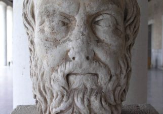
Herodotus's Histories
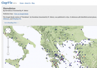
Using a digital text of Herodotus’s Histories, Hestia uses web-mapping technologies such as GIS, Google Earth and the Narrative TimeMap to investigate the cultural geography of the ancient world through the eyes of one of its first witnesses.
Learn More Search the Text
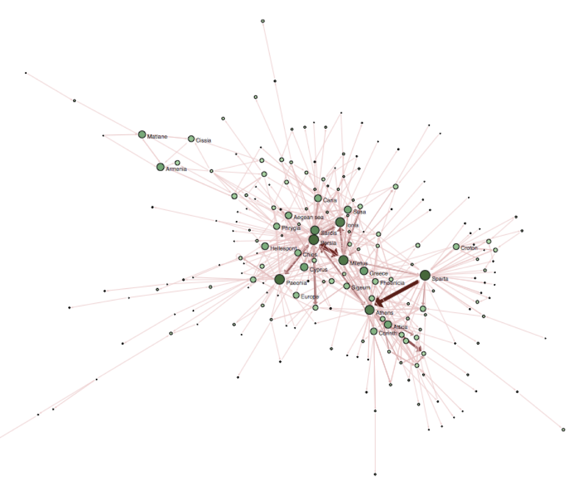
Hestia Tweets
RT @adamrabinowitz and there's material for teaching with @Hestiaproject on Hestia blog at hestia.open.ac.uk/reading-her… - 3 parts w/goodies, read 'em all! #BAM2016
About 7 years ago from Hestia's Twitter via Twitter Web Client
RT @eltonteb This (very elegant) solution for visualising complex networks in @Hestiaproject was devised by @scott_bot #BAM2016 twitter.com/CoryTaylor_/st…
About 7 years ago from Hestia's Twitter via Twitter Web Client
RT @RyanMHorne Visualizations in the @Hestiaproject network not meant to demonstrate knowledge - instead provocations. #BAM2016
About 7 years ago from Hestia's Twitter via Twitter Web Client
RT @eltonteb Interested to hear that #BAM will experiment with interfaces for reading texts spatially. See @Hestiaproject www2.open.ac.uk/openlearn/hes… 1/2
About 7 years ago from Hestia's Twitter via Twitter Web Client
RT @uSIG_CCHS_CSIC Palladio: Humanities thinking about data visualization @Hestiaproject hestia.open.ac.uk/palladio-hu… pic.twitter.com/zBmEGrMgx5
About 7 years ago from Hestia's Twitter via Twitter Web Client
Hestia Project
Using Hestia
