Pelagios
Pelagios : The information superhighway for the ancient world
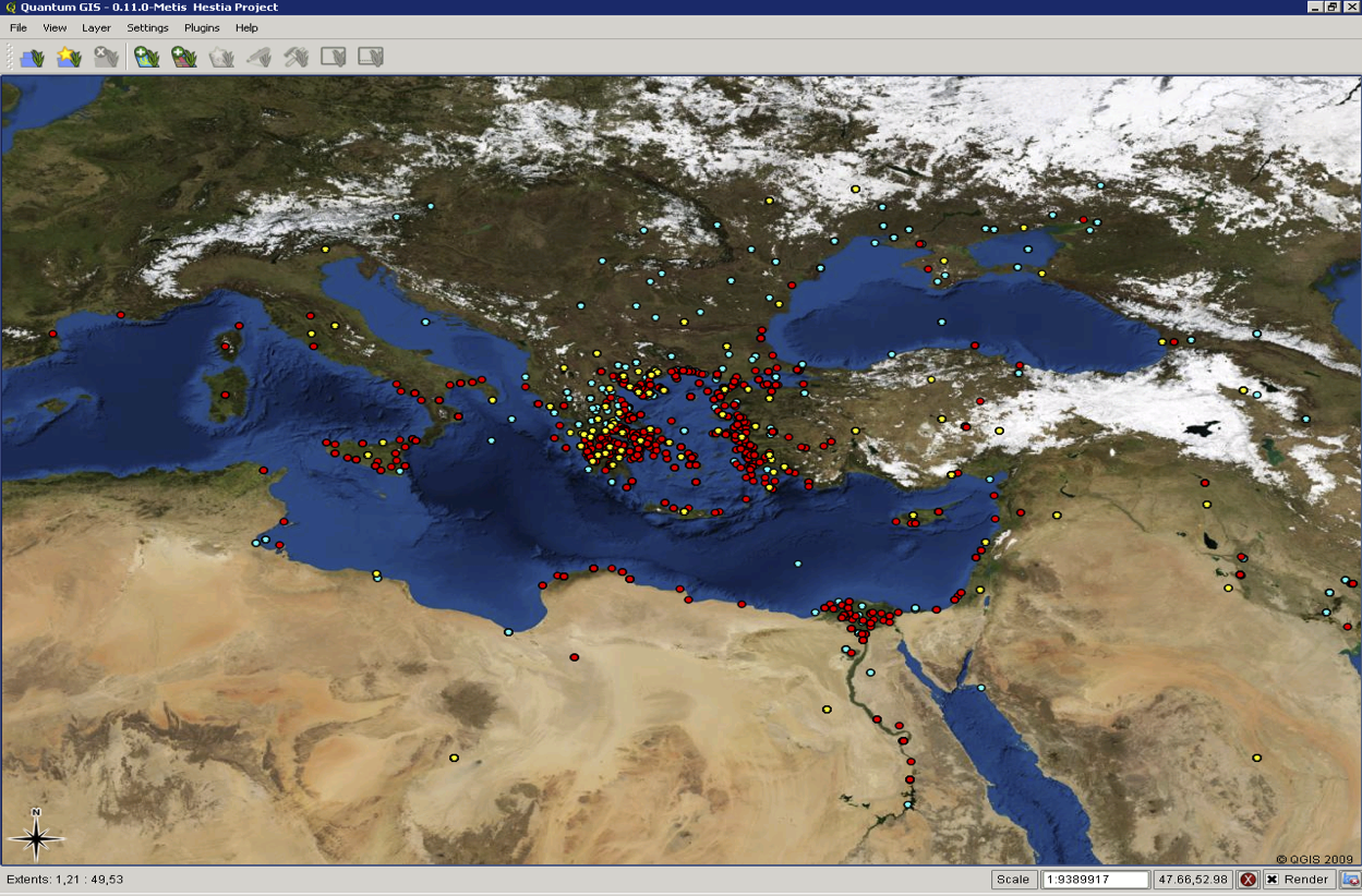
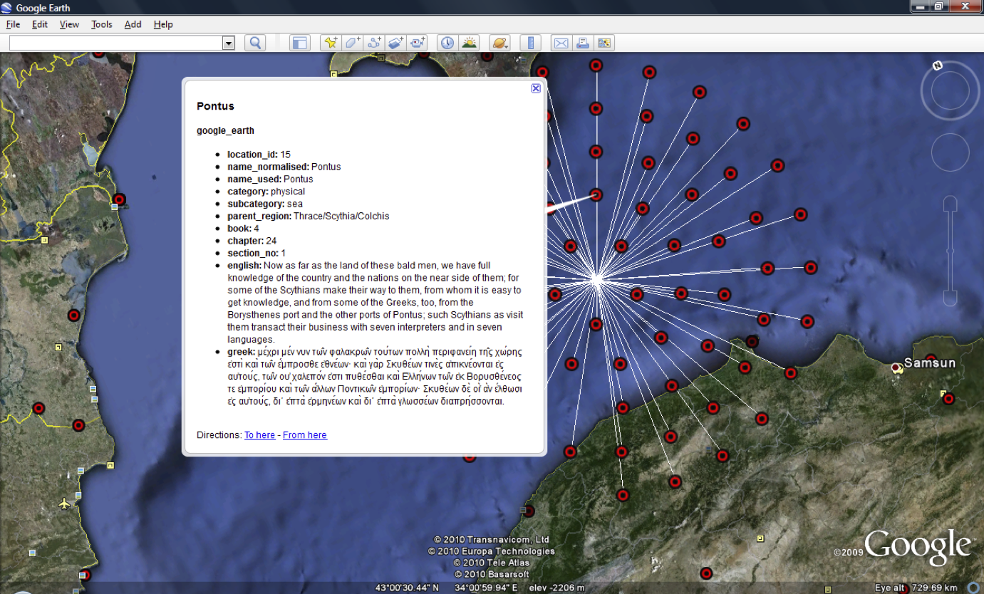
The Pelagios project is dedicated to using the power of Linked Open Data to connect all kinds of online documents about the ancient world—texts (ancient and modern), databases, maps, images and anything else—through the common places to which they refer. This means that:
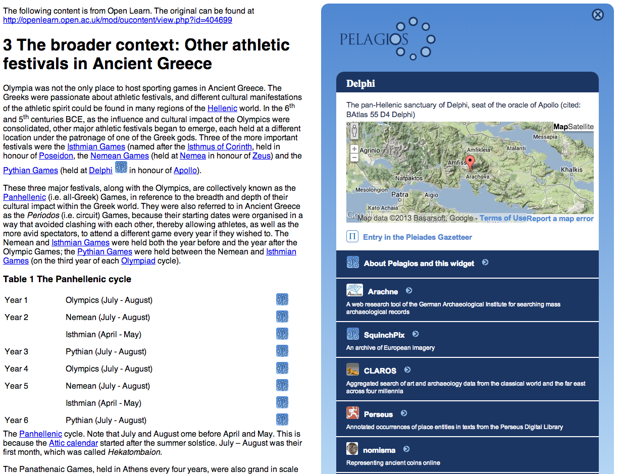
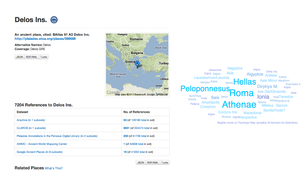
- a wide array of diverse Web content can be made discoverable not only through a search engine, but from related resources as well;
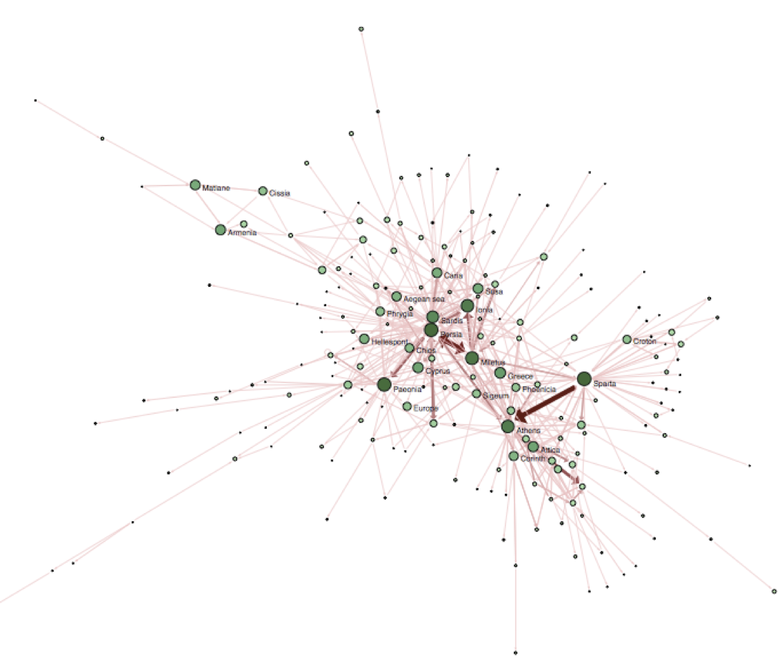
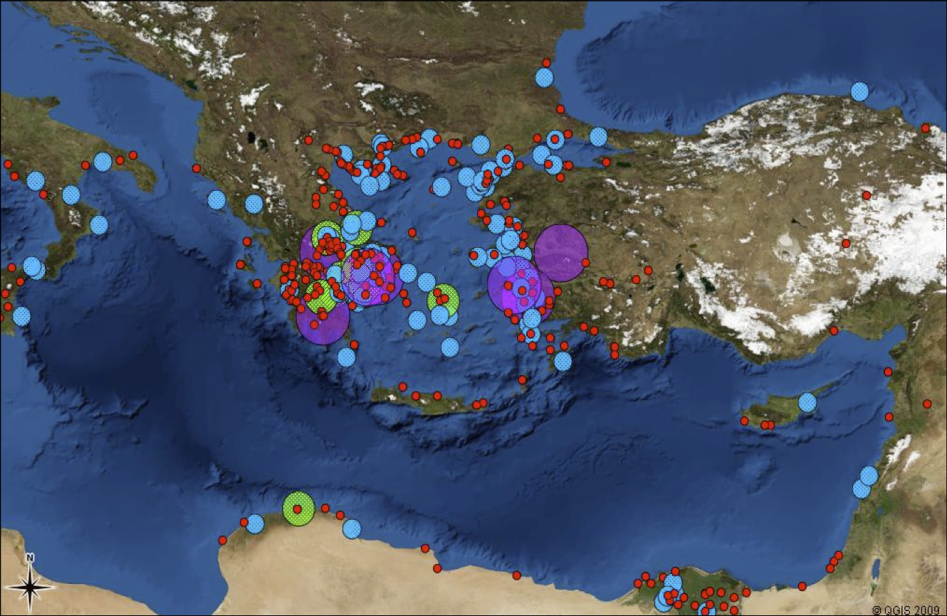
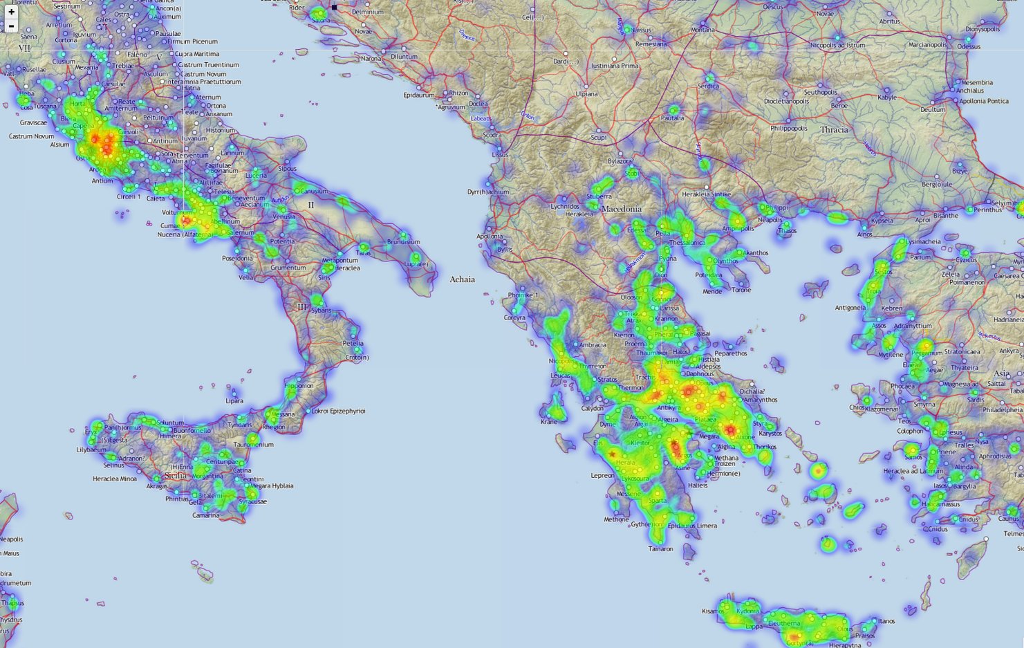
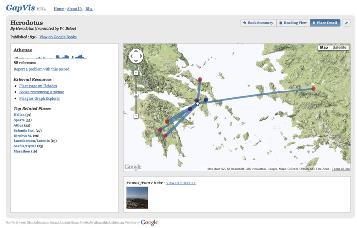
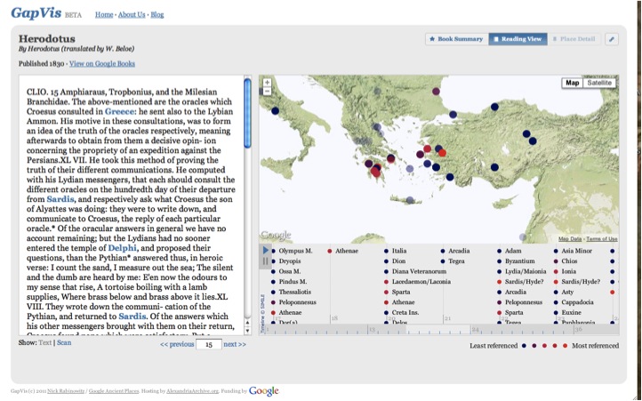
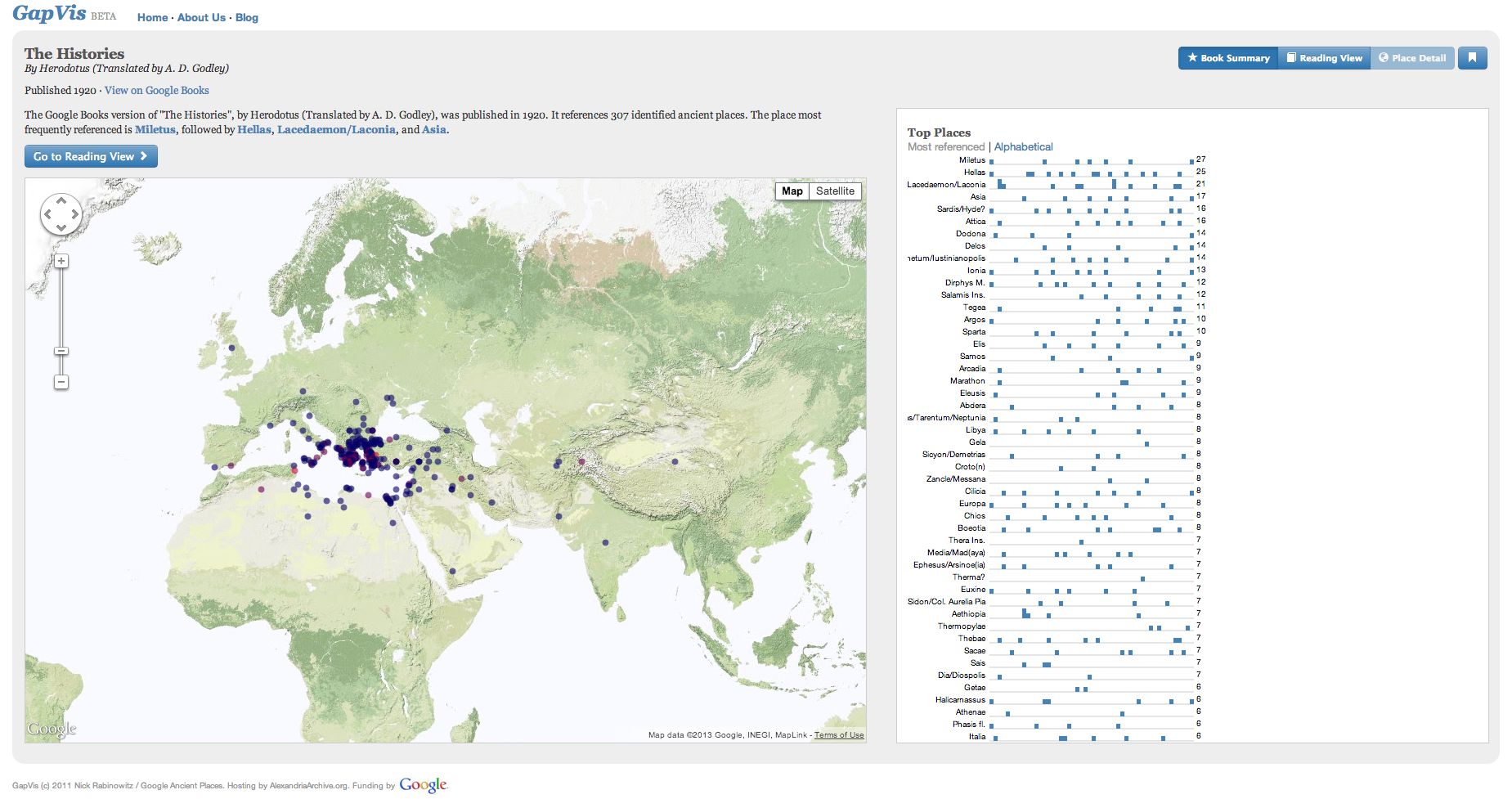
- documents can be visualized, and analyzed, in new ways, differentiating areas which form the focus of their exposition from those which are peripheral;
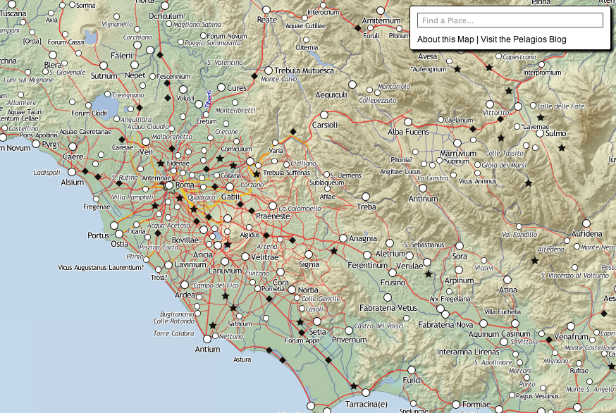
- maps can be compared and contrasted not only with other maps but also the texts which are often their original sources;
- how place-names change through time and across language can be observed, as well as how they are become related to one another, whether geographically, politically or conceptually.
Pelagios is an evolving work-in-progress that is at the forefront of a growing ecology of inter-related projects known as the Graph of Ancient World Data (GAWD). The core team of researchers are: Elton Barker (OU), Leif Isaksen (Southampton), Rainer Simon (Austrian Institute of Technology), and Pau de Soto (Southampton).
Our growing range of international partners include: the Ancient History Encyclopedia, the Ancient World Mapping Center, the British Museum, the Encyclopaedia of the Hellenic World, the German Archaeological Institute, the Perseus Digital Library and the Pleiades Gazetteer of Ancient Places.
Visit the Blog Pelagios Map The Pelagios Code Follow on Twitter
