Menu
-
Home for geospatial analysis of
Herodotus's Histories
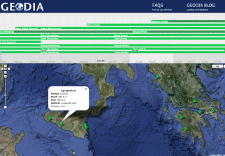
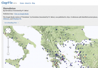
Using a digital text of Herodotus’s Histories, Hestia uses web-mapping technologies such as GIS, Google Earth and the Narrative TimeMap to investigate the cultural geography of the ancient world through the eyes of one of its first witnesses.
Learn More Search the Text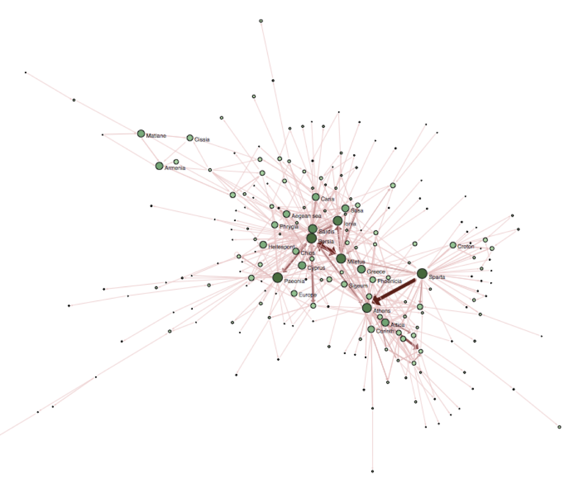
Policies
Hestia Project
Hestia is an innovative public engagement project based on the spatial reading and visualising of texts. Find out more about the project under the About page.
Using Hestia
All data, text and content of the Hestia website are licensed under a Creative Commons Attribution 2.0 UK: England & Wales License.


Hestia: Home for geospatial analysis of Herodotus's Histories

