Maximilian Schich (School of Arts and Humanities, The University of Texas at Dallas)
Topography and Topology: Towards common ground in archaeological research
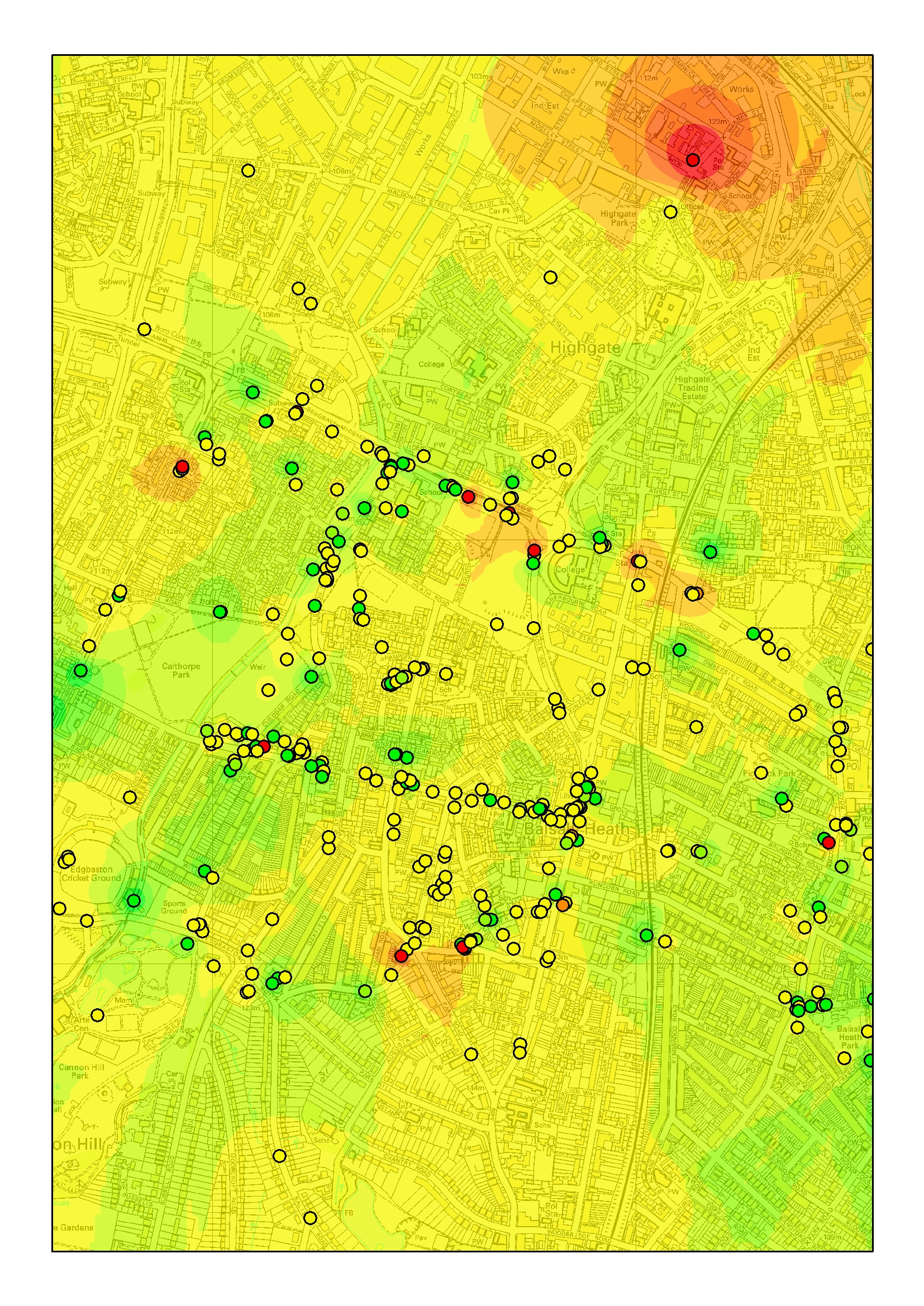
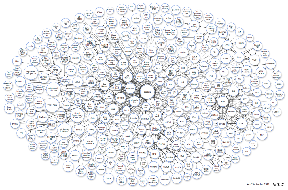
Topographic space has been a dominant paradigm in archaeology for more than five centuries, ever since practitioners started to systematically document ancient remains in ground plans, elevations, perspectives, and maps. In the digital age, topographic records are accelerating exponentially, from simple lists of toponyms to sophisticated compounds, resulting in a multiplicity of opinion that is hard to reconcile into a single coherent picture with three spatial dimensions and one clear evolution over time. Instead we are confronted with a much more complex, multidimensional, hard to understand and frequently incoherent topological space of similarities, implicit dependencies, and relations to other dimensions, such as the social and conceptual.
This talk explores how the science of complex networks, computer science, physics and information design can help us better appreciate regularities and local deviations in this multidimensional topology.
Maximilian’s talk
Read More»