I was pleased to participate in the Hestia2@Stanford event held December 4-5, 2013 at Stanford’s Center for Spatial and Textual Studies (CESTA). The program, titled Visualizing Complex Networks, included several researchers from Stanford as well as a couple of digital humanities initiatives in nearby San Francisco. The plan was to share progress and prospects for some local projects that “explore network analysis and uncertainty in data from a number of different perspectives,” touching on topics and methodologies related to the Hestia project.
Read More»time
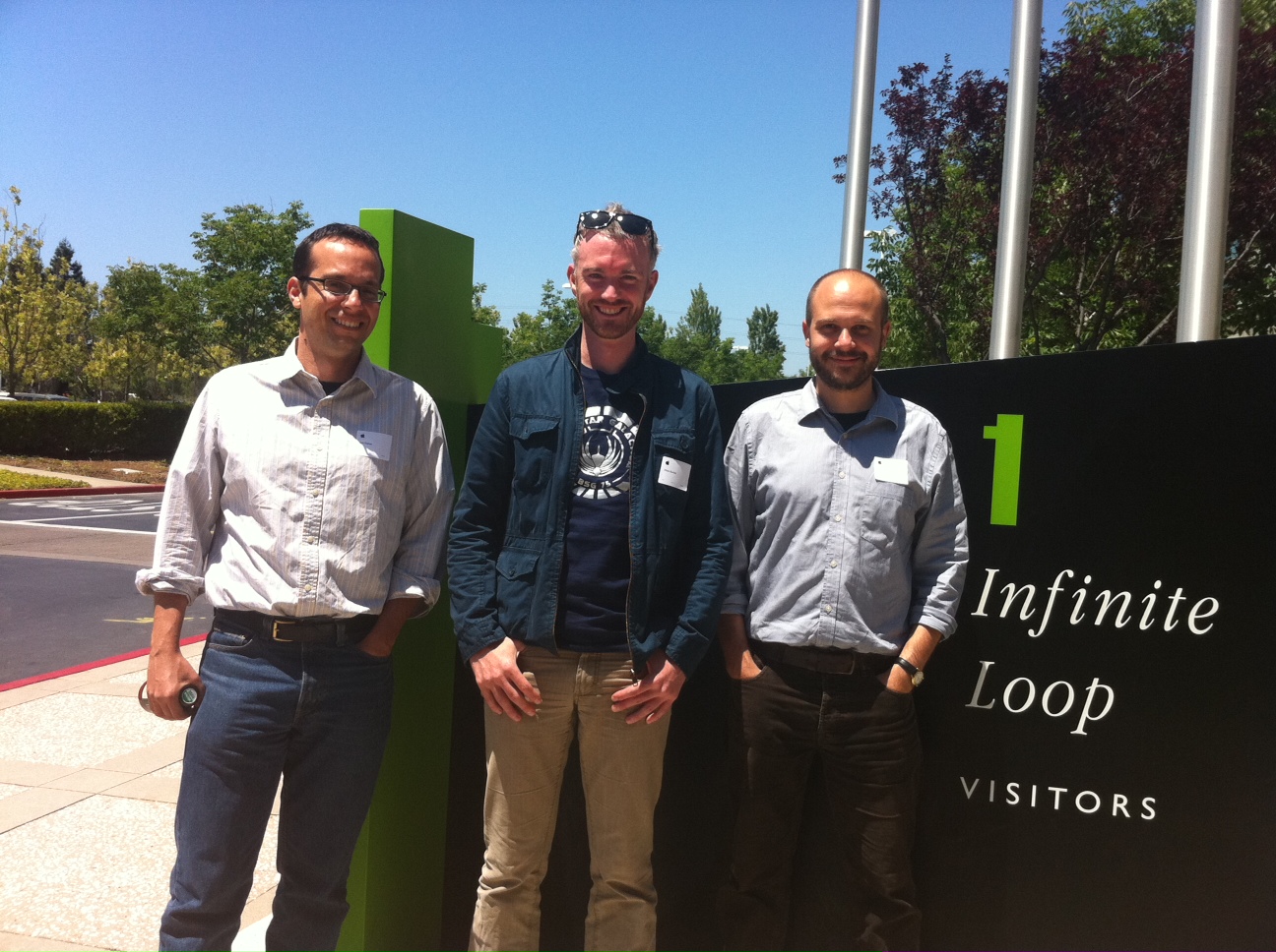
Back in November Hestia2 held its second seminar in a place where the sun really does always shine (see below): Stanford, California. There was a very good reason, in addition to being able to wear a t-shirt in November, for holding a seminar on Digital Humanities in Stanford. With its campus in Palo Alto, Stanford shares a location with a number of high-tech household names, including Apple, Google and Facebook, while smaller start-ups in the San Francisco Bay Area are but a short Caltrain ride away. One of these, Farallon Geographics, has recently worked with the Getty Conservation Institute and World Monuments Fund, to produce an open-source, web-based, geospatial information system for cultural heritage inventory and management, called Arches, showing the massive potential for collaboration between private digital enterprise and the public cultural sector, including higher education.
Read More»